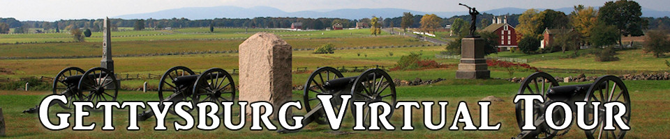
Introduction
The Union victory at the battle of Gettysburg is often considered the turning point in the Civil War. It was also the bloodiest battle ever fought in North America, with about 50,000 soldiers killed or wounded over the course of three days.
One of the keys to understanding the battle of Gettysburg is understanding the geography of the area. For much of the battle, the Union occupied the high ground, which gave them a tactical advantage. The army on higher ground can see farther. Their cannons and guns have a greater range, and it is harder for opposing forces to attack uphill.
This virtual tour will give you an overview of the battlefield so that you can better understand the many descriptions of the battle that are available. For an excellent overview, see this interactive movie on the U.S. Army’s Web site. You can read a more detailed description of the battle here.
The side navigation is available on all pages of the tour, so you can easily jump back and forth between different parts of the battlefield. Because each day's fighting was concentrated in different areas, the navigation links are arranged in order by day so that you can more easily follow the flow of the battle.
To Do
Answer the questions at the bottom of each page of the tour. You can click the Questions link under More Resources to open a printable PDF with a list of all the questions.
Overview Map
As you go through the tour, you can refer to this map to help you find the different locations. Zoom in to see more detail. Click the yellow markers to see descriptions of each area. Try using different views, such as Map or Terrain (Ter on the map).
View Gettysburg Overview Map in a larger map
Learner Description
This activity is intended for students in grades 7 and up who are studying geography or American History, as well as teens and adults who are interested in the Civil War.
